
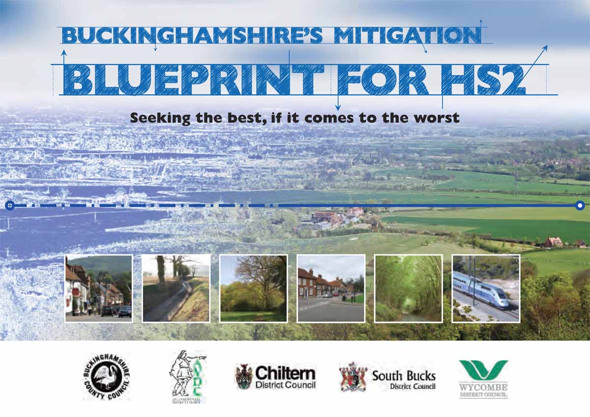
HS2: The county council's Mitigation Blueprint
PART OF THE HS2 HISTORIC IMPACT ASSESSMENT PROJECT
|
‘Seeking the best, if it comes to the worst’ For two years Bucks County Council held a policy of total opposition to the HS2 project. Through its membership of the 51m Campaign, along with 18 other local authorities, the council sought to challenge the government's business case for the HS2 line, arguing that the economic and environmental benefits of the line ‘are not at all credible’. |
|
The Campaign launched a legal challenge to the government early in 2013, calling for a Judicial Review. But this was rejected by the High Court.
In March 2013 Bucks County Council launched its ‘HS2 Mitigation Blueprint’ with the slogan ‘Seeking the best, if it comes to the worst’.
The good news is that the council has taken on board many of the issues relating to the historic environment that members of the society have been raising through their past two years of research and surveys along the proposed line of HS2. This is not least thanks to personal communications between society members and the council's archaeology officers.
Here are a few examples quoted from the ‘Blueprint’:
- ‘Key principle: To ensure that designated heritage assets and other key archaeological remains and cultural landscapes are preserved, protected and maintained from physical impacts and harm to their setting. Where impacts are significant and unavoidable, appropriate mitigation and compensation measures must be identified.’
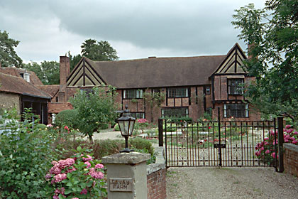
- Near Denham ‘the viaduct will be within 300 metres of The Savay (right), a Grade I listed medieval building. Noise and vibration effects will require sensitive assessment and design.’
- ‘The council supports the proposal for a Chilterns Tunnel, extending HS2's proposed tunnel from Denham so that the line remains underground up to Nash Lee Road, north of Wendover.
- On Stoke Mandeville the council has quoted the society's report directly:
‘If HS2 goes ahead as currently planned then what remains of the Saxon and Norman village will be swept away by the bulldozers
because the high-speed route goes through the old church, its churchyard and its deserted village.The historical evidence suggests
that the site of the old church and village of Stoke Mandeville is of national importance.’
The council adds that it ‘ expects... investigation at St Mary's Church, Stoke Mandeville, to be exemplary, providing opportunities for learning, a suitable memorial and appropriate treatment of gravestones.’
The Blueprint specifies that ‘Storage of Christian remains must be in a consecrated local site where they may form part of a future research archive of national importance. HS2 Limited must consider providing a suitable memorial, for example rebuilding the ground plan of the medieval church as a memorial garden.’
(See the society's own report on Stoke Mandeville deserted village site.)
|
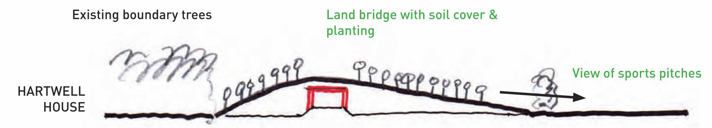
| THE NATIONAL TRUST'S PROPOSED ‘LAND BRIDGE’ |
- Where the line runs close to Hartwell House, the council supports the proposal from the National Trust for a ‘land bridge’, which would benefit both Hartwell and nearby residents in Aylesbury. The land bridge design is set out in a series of linked diagrams on the National Trust website.
- At Fleet Marston, just north of Aylesbury, ‘the scheme will pass through the remains of a Roman settlement, requiring proper investigation and study, and providing opportunities for public viewing and participation.’
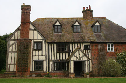
- The council expresses significant concerns about noise impacts in Twyford where the
line comes within 250 metres of the Grade 1 listed medieval parish church.
‘The area north-west of the village, around St Mary's House (right), is also an important historic environment, and the former manorial centre of the medieval village of Twyford.’ Therefore a noise-absorbing earthbank ‘is... critical ... with further work required to assess [its] optimal height, extent and character’. - At Chetwode, the council expects the creation of ‘a green tunnel ... to mitigate visual and noise impacts’ on the village's historic landscape and the dangers to the Grade 1 listed medieval church from vibration.
- The council expects:
‘We expect a research framework and archaeological investigation programme to be agreed with the Council's archaeological adviser. This should include opportunities for public engagement, publication of the results and provision for display or storage in an appropriate way.’
‘We expect that where historic buildings or structures will be destroyed, or cannot be maintained in their current location, consideration must be given to moving them to an alternative site and securing a future use.’
These extracts are taken from version 1 of the council's HS2 Mitigation Blueprint.
A second updated version is expected early in 2014 after an ‘HS2 Summit Meeting’ which was attended by representatives
of local organisations, including the Buckinghamshire Archaeological Society, early in November 2013.
Read the council's Blueprint for yourself at:
![]() Buckinghamshire's Mitigation Blueprint for HS2
Buckinghamshire's Mitigation Blueprint for HS2