
Stoke Mandeville: Surveying the deserted village site
THE HS2 HISTORIC IMPACT ASSESSMENT PROJECT
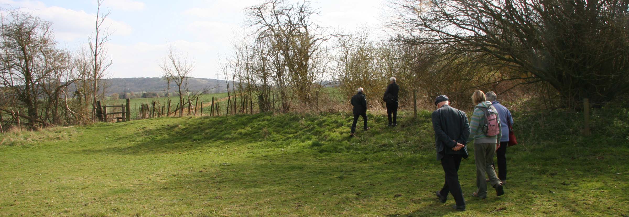
Members of the society inspecting the high retaining bank of one of the mill leats, in the south-west corner of old
Stoke Mandeville's ‘outer enclosure’.
A WALKING SURVEY
SOON AFTER the plans to build the HS2 rail line were announced, five members of the society conducted a ‘walking survey’ of the deserted village site in April 2012, viewing the remains of the old church, the churchyard – where gravestones stand as evidence for centuries of burials – and the surrounding ponds and fields.
Of particular interest were three ‘leats’, man-made watercourses which run along both sides of the shallow valley, because these may point to the site of the watermill that was recorded there in Domesday Book in 1086. The rusting iron wheel of a later mill is still visible today at nearby Stoke House Farm.
Documentary research into the history of the village revealed that before the Norman invasion of 1066 the manor was held by the Anglo-Saxon Bishop Wulfwig. Do the silted-up remains of ponds, still visible today, indicate the site of the bishop's moated manor house?
THE GEOPHYSICAL SURVEY
Over three days in October and November 2013 a geophysical resistivity survey of the ‘outer enclosure’ surrounding the old churchyard was carried out by members of the society's recently formed Active Archaeology Group.
Their aim was to discover any signs within this enclosure of former village buildings, roadways or other features in order to establish the significance and extent of the deserted medieval village.
The survey results indicated several house platforms and confirmed the existence of earlier ponds and ditches. The relationships between these were not clear enough to show the pattern of the settlement, but these features may date from different periods.
It is also most likely that the churchyard was originally larger than the area defined by its present iron railings, which means that there may be earlier burials in the outer enclosure.
For full details of the survey and its results, see:
![]() Geophysical Survey at Stoke Mandeville deserted village site
Geophysical Survey at Stoke Mandeville deserted village site
BAS Report 2014-01 - March 2014
PHOTO BY PETER MARSDEN