|
|
|
|
|
|
|
|
|
|
|
|
|
|
|
|
|
|
|
|
|
|
|
|
|
|
|
|
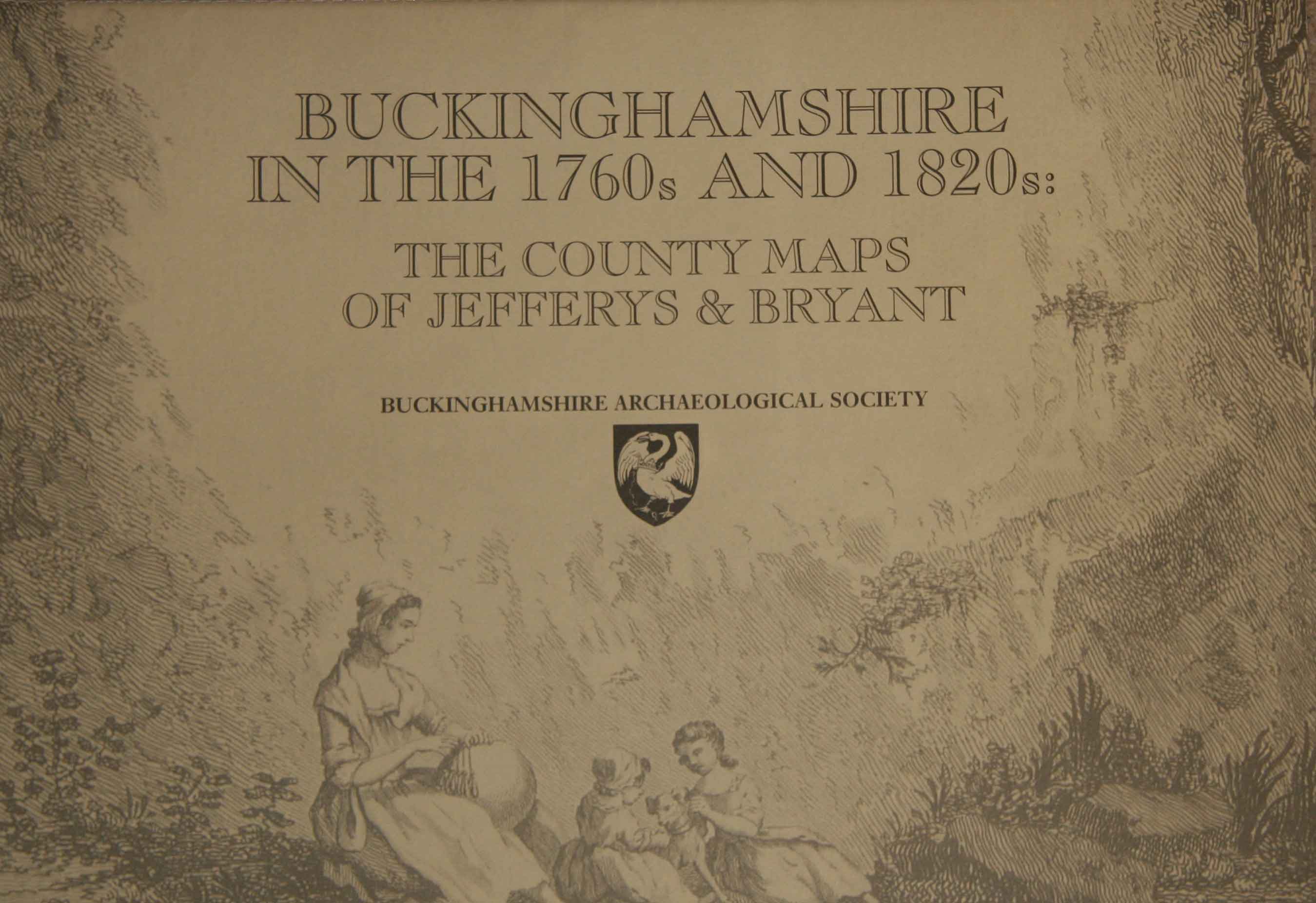
 Buckinghamshire in the 1760s and 1820s
THE COUNTY MAPS OF JEFFERYS AND BRYANT
with an introduction
by Paul Laxton
A facsimile reproduction of two of the earliest large-scale maps of Buckinghamshire in book form. Packed with details – the originals are 6ft and 4ft in length – they offer a picture of the changing landscape of the county in the 18th and early 19th centuries, with fascinating (and sometimes deceptive) details of towns, villages, roads, woodland... even the siting of windmills.
38 pages, large-format paperback,
with maps reproduced in full colour and to their original scales.
Published by the Buckinghamshire Archaeological Society in 2000.
ISBN 978-0-949003-17-4
£15.00
plus £3.00 post and packing (UK).